In 2013, Google Maps bought the navigation app Waze. Waze did the same thing as Google Maps, but it used the social hive mind to help drivers avoid slowdowns on main roads, find road hazards, alternate routes, accidents and speed traps. Both companies made out in the deal. Waze got Google’s massive data set and Google got Waze’s social network of engaged drivers.
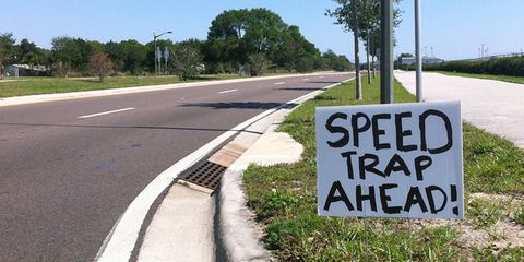
We Google Maps users hadn’t seen a ton of benefit from the near-$1 billion deal until last week when Google Maps added features Wazers have been using for years, including the kicker: the option to note speed traps and police locations for other drivers.
To submit road hazards, slowdowns or speed traps, you need to start with Google Maps' latest version. After you plot a route, you see a little plus button, on Android phones at least—I can’t seem to get it to work on my iPhone—that shows you what sort of road hazard to add.
Drivers obviously love the feature while revenue-generating police officers understandably don't. Previously, the LAPD requested that Waze drop the feature, and in February, the NYPD went a step further, “demanding” it remove the speed trap option.
"There is no moral, ethical, or legal reason to have the police locator button on the app," the National Sheriffs’ Association wrote in 2015. "We are concerned that terrorists, organized crime groups and gangs will find this a valuable tool to further their illegal activities."
So far, Waze has resisted removing the feature. I think it boils down to this: If police really want people to slow down and drive safely, this app will do that. If they want to make money off speeders, this app won’t do that.


